
MSc Applied Geographical Information Systems and Remote Sensing
 4.3 /5
- Public University
 Geography and Environment
 Talk to Expert
MSc Applied Geographical Information Systems and Remote Sensing at Southampton University Overview
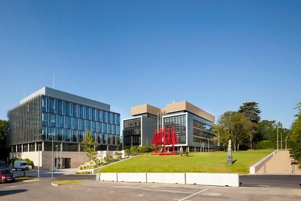
The University of Southampton is a popular destination among international PG students interested in starting MSc Applied Geographical Information Systems and Remote Sensing from abroad. The program lasts for a duration of 1 year. The MSc Applied Geographical Information Systems and Remote Sensing program is considered part of the top ranked courses in UK. Candidates interested in pursuing the course must meet the eligibility criteria and secure valid scores in exams such as IELTS, PTE and Duolingo. The interested students should fill the form as soon as possible because the application window opens for a short time only. The first year tuition fee for MSc Applied Geographical Information Systems and Remote Sensing at University of Southampton is around GBP 28,900. Students must also plan for some other additional costs over the duration of studies such as rent, groceries, books, health insurance, etc. The average estimated cost of living at University of Southampton is around GBP 6,886.
Duration | 1 year |
Tuition & Fees | ₹40.23 Lakh Get Fees details |
International Students Admission Website | Go to Website  |
Official Career Service Website | Go to Website |
Course Level | PG Degree |
MSc Applied Geographical Information Systems and Remote Sensing at Southampton University Fees
Students are required to pay the first-year tuition fee as per the University of Southampton MSc Applied Geographical Information Systems and Remote Sensing fee structure. In addition to tuition costs students should budget for
- housing
- food
- other utilities
 1st year tuition fees
 | Fees components | Amount (for 1 year) |
|---|---|
| Tuition & fees | INR 40,22,694 |
Other expenses in 1st Year | Fees components | Amount (for 1 year) |
|---|---|
| Hostel & Meals | INR 9,14,003 |
| Transportation | INR 1,37,700 |
 Calculated at the exchange rate of 1 Pound = INR 128.93251 | Tuition & expenses were last updated on 16ᵗʰ July 2026
Download exam sample paper

MSc Applied Geographical Information Systems and Remote Sensing at Southampton University Entry Requirements

- No specific cutoff mentioned
- 60%
- Read less
- Students need a 2.1 degree 55 - 65% depending on awarding institution in one of these subjects.
- geography.
- physics.
- geomatics.
- environmental science.
- ecology.
- biology.
- geology.
- engineering.
- social science.
- Student must have a UG degree awarded by a recognized University or an equal professional qualification approved by the University with an overall qualification of at least 60%.

Calculate your score and check your eligibility at over 2000+ universities.
- No specific cutoff mentioned

Calculate your score and check your eligibility at over 2000+ universities.
- Marks - 62/90
- With 58 in each band
- Marks - 6.5/9
- Minimum score of 6.0 in each component
- Get a Full FREE IELTS Prep Course with Shiksha Study Abroad – Limited Seats for Weekend & Weekday Batches! Register now for IELTS
- Marks - 113/160
- With 100 in each band
- Take Duolingo English Test from your home, in just 1 hour and get results in 2 days. 70% cheaper than other English Tests. Register now for Duolingo
MSc Applied Geographical Information Systems and Remote Sensing at Southampton University Application Process
- Two academic reference letters are required
- Submit resume/CV (For MBA)
- Degree certificate(s) (and translated version if necessary)
- If students are still studying for the qualification they should provide a partial transcript
- Degree transcript(s)(and translated version if necessary)
- English language qualification
- Personal Statement explaining why you want to take the course
MSc Applied Geographical Information Systems and Remote Sensing at Southampton University Rankings
| Rank | Rank Publisher |
|---|---|
| #15 | |
| #14 | |
| #20 |
University of SouthamptonStudents Ratings & Reviews
 22 Verified Reviews
- 67% students never faced discrimination in this university


MSc Applied Geographical Information Systems and Remote Sensing at Southampton University Highlights
- The MSc Applied Geographical Information Systems and Remote Sensing combines the study of two key technologies - remote sensing and geographical information systems within a single programme
- Study topics include GIS for Environmental Management, Topographic Data Analysis Techniques and Applications, Practical Skills in Remote Sensing, GIS for Healthcare Management, Environmental Pollution, etc.
- For the first 8 months (semesters 1 and 2) students will focus on the taught part of your course. This consists of modules that everyone on the course takes and modules that we'll ask you to choose from a list of options.
- During semester 2 students will begin preparing for their final project.
MSc Applied Geographical Information Systems and Remote Sensing at Southampton University Scholarships
Resources for you
Learn the process in simple steps with these guides handpicked for you


Explore courses offered by Southampton University
Other Courses offered by Southampton University
Similar courses in different Universities
Newport, UKPublic
Leeds, UKPublic
Lincoln, UKPublic
Nottingham, UKPublic
Reading, UKPublic
Leicester, UKPublic
London, UKPublic
Huddersfield, UKPublic
Middlesex, UKPublic
Birmingham, UKPublic
About the author
 Study in UKUniversities in UKUniversities in SouthamptonSouthampton UniversityMSc Applied Geographical Information Systems and Remote Sensing
MSc Applied Geographical Information Systems and Remote Sensing at Southampton University Popular & recent articles


MSc Applied Geographical Information Systems and Remote Sensing at Southampton University Contact Information
University Road
Southampton SO17 1BJ
Southampton ( Hampshire)
(For general query)
(For admission query)
(For general query)
(For admission query)