
M.Tech. in Remote Sensing and GIS
- B+ NAAC accredited
- Public/Government University
- Estd. 1989
- Overview
- Fees
- Placements
- Entry Requirements
- Admission Process
- + 1 more item
M.Tech. in Remote Sensing and GIS at DBATU Overview
DBATU offers a 2 years M.Tech. in Remote Sensing and GIS course at the PG level. A total of 18 students can enrol in this course. The total tuition fee for the entire duration of this course is INR 30,000. Find out more about other courses under DBATU M.E./M.Tech.
Total Tuition Fees | ₹30,000 Get Fees details |
Duration | 2 years |
Course Level | PG Degree |
Mode of Course | Full Time |
Official Website | Go to Website  |
Seat breakup | 18 |
Type of University | Public/Government |
M.Tech. in Remote Sensing and GIS at DBATU Fees
The total tuition fee for DBATU M.Tech. in Remote Sensing and GIS is INR 30,000. Besides, the fee also includes other components, such as exam fee, caution deposit, enrollment fee, etc. Some of the fee components, such as caution deposit are one-time payable. Candidates after getting admission in M.Tech. in Remote Sensing and GIS need to pay the DBATU fee to confirm their seat in the institute. Below is fee breakup for DBATU M.Tech. in Remote Sensing and GIS:
| Fee components | Amount (2 years) |
|---|---|
₹ 30,000 | |
₹ 30,000 |
 These are based on information available on various sources. Latest values may differ.
M.Tech. in Remote Sensing and GIS at DBATU Frequently Asked Questions
M.Tech. in Remote Sensing and GIS at DBATU Students also asked
Download exam sample paper

M.Tech. in Remote Sensing and GIS at DBATU Placements
 Top Recruiters for DBATU
M.Tech. in Remote Sensing and GIS at DBATU Entry Requirements
- 50%
- Read more
Candidate must have cleared Bachelor Degree in the relevant field/ course of Engineering and Technology from AICTE or Central or State Government approved institutions or equivalent, with at least mentioned marks at least 45% marks in case of candidates of Backward Class categories, EWS and PWD category belonging to Maharashtra State.
M.Tech. in Remote Sensing and GIS at DBATU Admission Process
Important Dates
M.Tech. in Remote Sensing and GIS at DBATU Cutoffs
 2
2Explore Courses offered by DBATU
Other courses offered by DBATU

Get best suited colleges for you in real-time
Tell us about your city, course, budget & more
Discover best colleges that meet all your needs
Compare Courses From Similar Colleges
Similar courses in the same city
M.Tech. in Civil Engineering (Structural Engineering)
Offered by Pillai HOC College of Engineering and TechnologyM.Tech. in Water Resource Engineering
Offered by Yadavrao Tasgaonkar College of Engineering and ManagementStudent Forum
Content authored by:

M.Tech. in Remote Sensing and GIS at DBATU News & Updates


M.Tech. in Remote Sensing and GIS at DBATU Contact Information

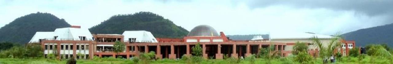
Vidyavihar, Lonere,
Raigad ( Maharashtra)
(For general query)
(For admission query)
Useful Links
Know more about DBATU
- All About DBATU
- Courses 2026
- Fees 2026
- Reviews on Placements, Faculty & Facilities
- Admission 2026 - Cutoffs, Eligibility & Dates
- Placement - Highest & Average Salary Package
- Cut off & Merit List 2026
- Gallery 2026
- Infrastructure Details & Reviews
- DBATU Faculty
- Compare DBATU
- DBATU Q&A
- Scholarships
- DBATU News & Articles
Know more about Programs
- Engineering
- M.E./M.Tech
- Food Technology
- Instrumentation Technology
- BTech Chemical Engineering
- AI & ML Courses
- Aeronautical Engineering
- BTech Petroleum Engineering
- Petroleum Engineering
- VLSI Design
- MTech in Computer Science Engineering
- Metallurgical Engineering
- BTech Robotics Engineering
- BTech in Biotechnology Engineering
- Aerospace Engineering